Category: Uncategorized
The Evolution of Drafting
August 16, 2022
From The Earliest Blueprints To Modern CAD
The evolution of drafting has come a long way since its traceable beginnings in 2000 BC. We have discovered fossils showing aerial plans for Babylonian castles, structures and other buildings dating back to thousands of years ago. In 1905 the first modern drafting table was patented, and while the technology and process of drafting have changed significantly, the principles and techniques have remained the same throughout the years.
Modern CAD (Computer Aided Drawing) software was popularized in the 1960s for its ability to simplify the drafting process. Architects and designers appreciate CADs ability to create blueprints that are more detailed and editable. Digital technologies such as CAD allow architects to collaborate remotely and to make edits to plans in process much easier.
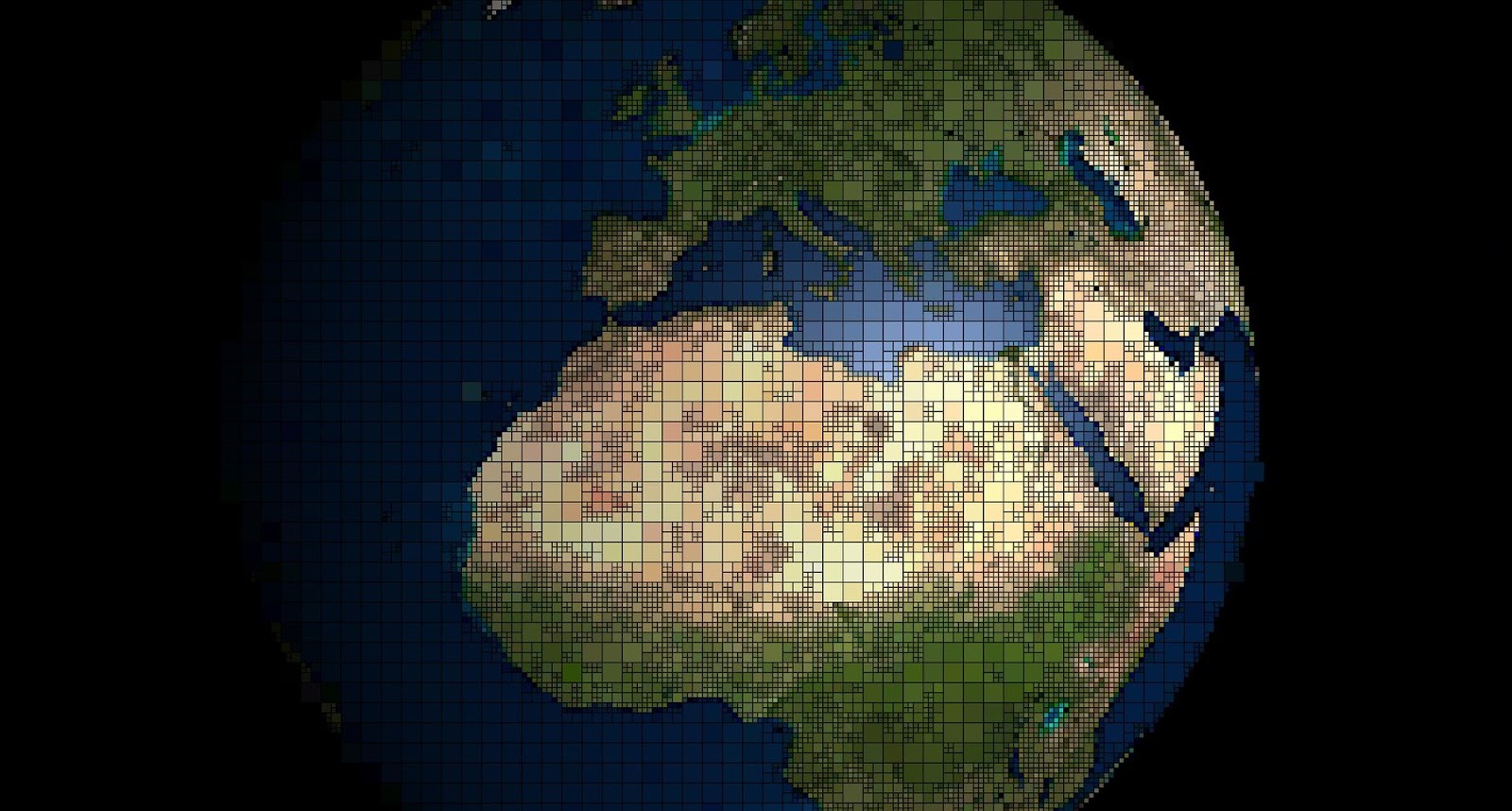
“What is GIS? Things to know about Geographical Information Systems”
July 20, 2022Who needs it, how is it used, and what are the benefits?
What is GIS?
A geographic information system (GIS) is a system that creates, manages, analyzes, and maps all types of data. This technology connects data to a map. A key function of GIS is that it integrates location data with other types of descriptive information. Basically it takes the location (where things are) and gives you the details (what things in that location are like). This is a far more advanced method than the previous mapping systems because you can include very specific details.
Almost every industry uses mapping systems, but geographic information systems allow you to better understand patterns and geographic context. This results in creating better foundations for relationships between items, locations and ideas in your design.
From Gutenberg to the Digital Age: Reprographics and Document Management
June 13, 2022What are reprographics?
Reprographics is a history of rapidly duplicating graphics. The term “reprography” was coined in the 1960s by the Haloid Corporation. It later became Xerox Corporation, to describe its then-new xerography photocopying process. This new process was significantly faster than previous methods of duplicating images, such as lithography or even photolithography. Reprographic history dates back to the early days of printing, when artists would manually copy images onto plates for printing.

(If you are old enough to have been in the working world in the 1960s, you are probably familiar with the use of the term “xerox” or “xeroxing” when referring to a photocopy or making a photocopy of a document. But the Xerox Corporation mounted a major campaign to protect their trademark, especially from the use of the word as a verb.)
What is digital reprographics?
Reprographics refers to the art and science of creating copies of images and documents. Today, reprographics is mainly used for photocopying, scanning, and printing documents. However, the term can also refer to the creation of digital copies of images and documents. This is because the term applies to both physical (hard copy) and digital (soft copy) reproductions of documents and images.
In the business world, reprographics is often used for marketing and advertising purposes. For example, businesses may use reprographics to create copies of product brochures or marketing collateral. In the academic world, reprographics is often used for research purposes. For example, students and scholars may use reprographics to create copies of archival materials or primary sources.
3D Laser CAD Scanner Services Save You Time and Money
September 24, 20213D laser CAD scanner services bring efficiency to project management by creating precisely accurate drawings of commercial, industrial, manufacturing, and even residential facilities, with point-cloud models for improved planning.
Models include large amounts of data points representing all measurements of a room. Measurements include coordinates along the X, Y, and Z axes. They are then plotted to form a 2D or 3D representation of the room or structure.
3D laser CAD scanner services are somewhat of a reverse engineering approach. This enables builders and architects to detect potential issues on a project before sending any crews out to begin labor. This saves time and money.